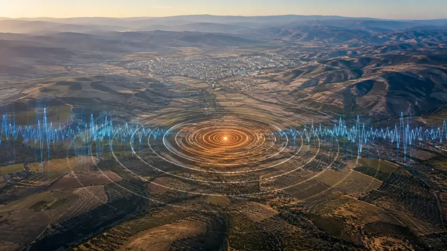
Türkiye’s Disaster and Emergency Management Authority recorded a magnitude 4.5 earthquake in the Nurdağı district of Gaziantep on Sunday, August 9, 2026. According to AFAD’s live earthquake catalogue, the event occurred at 3:42:16 a.m. local time and had a recorded depth of 7.44 kilometers. In its initial statement, the agency said no adverse situation had been identified at that stage and that field assessment work was continuing after the tremor was felt in Gaziantep and nearby provinces.
The key details in AFAD’s record
AFAD’s primary data lists Nurdağı as the epicentral area and identifies the magnitude type as Mw, or moment magnitude. The record gives coordinates of 37.13183 latitude and 36.90417 longitude, with a depth of 7.44 kilometers. Current reports from Dünya and Halk TV also cite AFAD for the same time, location and magnitude. The central technical details are therefore supported by the official catalogue and independently published news reports.
The tremor was felt in nearby provinces
Halk TV, citing AFAD’s statement, reported that the earthquake was felt in Gaziantep as well as Kilis, Kahramanmaraş, Osmaniye and Hatay. The agency said that no adverse situation had been identified when the statement was issued and that teams were continuing field checks. Dünya also reported that there was no reported adverse situation in the initial assessment. This is an early status update, not a final damage report, and should be presented with that limitation.
Smaller Nurdağı records followed
AFAD’s live list contains several smaller events centered in Nurdağı after the main tremor. It records magnitude 1.1 at 4:22 a.m., magnitude 1.0 at 4:23 a.m. and magnitude 1.2 at 4:44 a.m. These entries show that the agency continued to monitor local seismic activity. The times and magnitudes are the values displayed in AFAD’s catalogue at the time of access, and the live list may be updated as new measurements are processed.
How AFAD and Kandilli catalogues are used
AFAD’s Recent Earthquakes page lists current events in Türkiye and nearby areas with their date, time, coordinates, depth, magnitude type and location. Boğaziçi University’s Kandilli Observatory also publishes a Recent Earthquakes catalogue based on its own monitoring network. Initial calculations can differ between institutions because their networks and methods are not identical. Readers should therefore keep the name of the reporting institution attached to any magnitude or depth figure rather than combining separate measurements.
What has been confirmed?
The confirmed information at this stage is limited and clear. The earthquake occurred in Nurdağı at 3:42 a.m. on August 9. AFAD recorded a magnitude of 4.5 and a depth of 7.44 kilometers. It was felt in nearby provinces. AFAD’s first statement reported no adverse situation at that time and said field checks were continuing. Any later assessment should rely on new notices from the authorities instead of drawing conclusions beyond the initial statement.
Where the sources agree
AFAD provides the primary technical record and the initial field-status statement. Kandilli Observatory provides a separate official scientific monitoring catalogue. Dünya and Halk TV report AFAD’s data and statement in their current coverage. Read together, the four sources support a consistent account of the location, time, AFAD magnitude and initial official status. The report can be updated if the authorities publish new verified information after their field assessments.
